Strathord-Inseln
| Strathord-Inseln | ||
|---|---|---|
.jpg) | ||
| Gewässer | Salomonensee | |
| Archipel | Bonvouloir-Inseln (Louisiade-Archipel) | |
| Geographische Lage | 10° 15′ S, 151° 52′ O | |
| ||
| Anzahl der Inseln | 5 | |
| Hauptinsel | Strathord Island | |
| Gesamte Landfläche | 1,34 km² | |
| Einwohner | unbewohnt | |
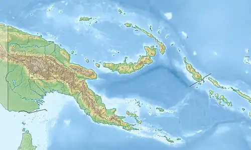
Die Strathord-Inseln sind eine unbewohnte Inselgruppe in der Salomonensee. Politisch gehören sie zur Provinz Milne Bay im südöstlichen Bereich von Papua-Neuguinea.
Die Inseln befinden sich etwa 100 km nordwestlich von Misima und bilden die nördlichste Gruppe des Louisiade-Archipels. Sie zählen zu den Bonvouloir-Inseln, zu denen auch das etwa 9 km südlich gelegene Hastings Island und das über 30 km südöstlich gelegene East Island gehört.
Die Hauptinsel Strathord Island liegt am südlichen Riffkranz der Gruppe, ist dicht bewaldet und flach.
Inseln
| Name | Koordinaten | Fläche km² |
|---|---|---|
| North Island | 10° 13′ 29″ S, 151° 52′ 1″ O | 0,18 |
| Middle Island | 10° 14′ 13″ S, 151° 51′ 51″ O | 0,08 |
| Amanuta | 10° 14′ 32″ S, 151° 51′ 41″ O | 0,05 |
| (unbenannt) | 10° 15′ 17″ S, 151° 50′ 59″ O | 0,04 |
| Strathord Island | 10° 15′ 22″ S, 151° 51′ 36″ O | 0,99 |