Simara Island
| Simara Island
| ||
|---|---|---|
| Gewässer | Sibuyansee | |
| Inselgruppe | Luzon | |
| Geographische Lage | 12° 48′ 16″ N, 122° 3′ 1″ O | |
| ||
| Länge | 7 km | |
| Breite | 4 km | |
| Fläche | 28,5 km² | |
| Höchste Erhebung | Mount Simara 229 m | |
| Einwohner | 10.112 (2022[1]) 355 Einw./km² | |
| Hauptort | Corcuera | |
 | ||
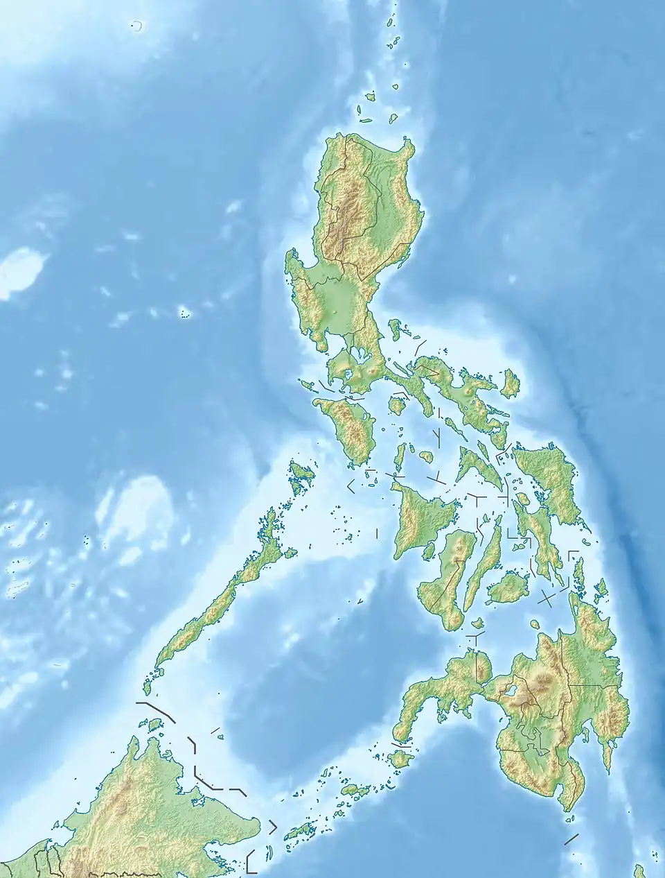
Simara Island[2] ist eine philippinische Insel im Norden der Sibuyansee. Sie liegt etwa 13 km nordwestlich der Insel Tablas und 9 km südlich von Banton Island.
Verwaltung
Simara gehört zur Gemeinde Corcuera (Municipality of Corcuera) in der philippinischen Provinz Romblon.
Einzelnachweise
- ↑ Philippine Standard Geographic Code (PSGC) – Philippine Statistics Authority. In: psa.gov.ph. 31. März 2022, abgerufen am 27. September 2022 (englisch).
- ↑ Simara Island. In: geonames.org. Abgerufen am 27. September 2022 (englisch).