Vorlage:Infobox_Ort_in_Portugal/Wartung/ungültiger LAU-Code
| Seixo Amarelo
|
| Wappen
|
Karte
|

|
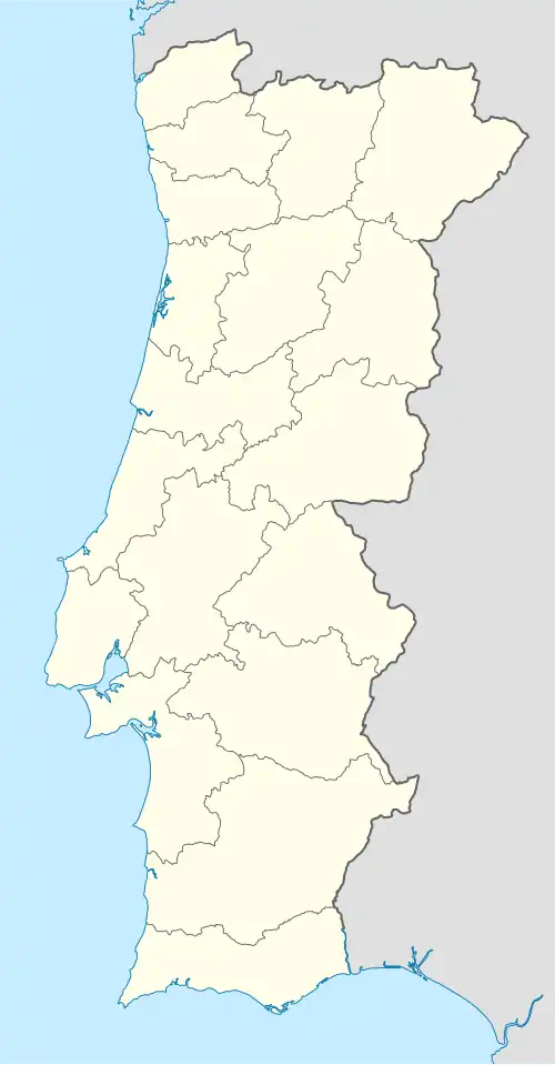 Seixo Amarelo (Portugal) Seixo Amarelo (Portugal) |
|
|
| Basisdaten
|
| Staat:
|
Portugal Portugal Portugal
|
| Region:
|
Centro
|
| Unterregion:
|
Beiras e Serra da Estrela
|
| Distrikt:
|
Guarda
|
| Concelho:
|
Guarda
|
| Koordinaten:
|
40° 27′ N, 7° 21′ W40.445555555556-7.3416666666667
|
| Einwohner:
|
84 (Stand: 30. Juni 2011)[1]
|
| Fläche:
|
12,21 km² (Stand: 1. Januar 2010)[2]
|
| Bevölkerungsdichte:
|
6,9 Einwohner pro km²
|
| Postleitzahl:
|
6300-115
|
| Politik
|
| Website:
|
seixoamarelo.no.sapo.pt
|
Seixo Amarelo ist eine ehemalige Gemeinde (Freguesia) im portugiesischen Kreis Guarda. In ihr leben 84 Einwohner (Stand 30. Juni 2011).[1]
Einzelnachweise
- ↑ a b www.ine.pt – Indikator Resident population by Place of residence, Sex and Age; Decennial in der Datenbank des Instituto Nacional de Estatística
- ↑ Übersicht über Code-Zuordnungen von Freguesias auf epp.eurostat.ec.europa.eu