San Vicente (Camarines Norte)
| Municipality of San Vicente | |||
| Lage von San Vicente in der Provinz Camarines Norte | |||
|---|---|---|---|

| |||
| Basisdaten | |||
| Region: | Bicol-Region | ||
| Provinz: | Camarines Norte | ||
| Barangays: | 9 | ||
| Distrikt: | 1. Distrikt von Camarines Norte | ||
| PSGC: | 051609000 | ||
| Einkommensklasse: | 5. Einkommensklasse | ||
| Haushalte: | 1765 Zensus 1. Mai 2000
| ||
| Einwohnerzahl: | 10.396 Zensus 1. August 2015
| ||
| Koordinaten: | 14° 6′ N, 122° 52′ O | ||
| Postleitzahl: | 4609 | ||
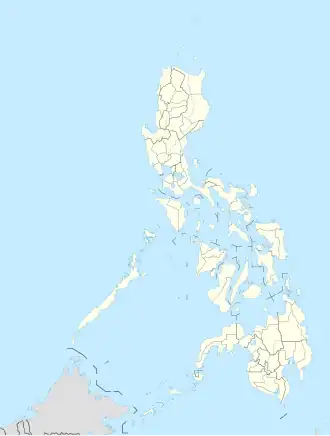
| Geographische Lage auf den Philippinen | |||
| |||
San Vicente ist eine philippinische Stadtgemeinde in der Provinz Camarines Norte. Sie hat 10.396 Einwohner (Zensus 1. August 2015). Auf dem Gemeindegebiet liegen Teile des Naturschutzgebietes Abasig-Matogdon Mananap Natural Biotic Area.
Baranggays
San Vicente ist politisch in neun Baranggays unterteilt.
- Asdum
- Cabanbanan
- Calabagas
- Fabrica
- Iraya Sur
- Man-Ogob
- Poblacion District I (Silanga)
- Poblacion District II (Kanlur)
- San Jose (Iraya Norte)