Mount Marston
| Mount Marston | ||
|---|---|---|
| ||
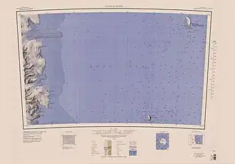
| Mt Marston im südwestlichen Bereich des Kartenblatts | ||
| Höhe | 1245 m | |
| Lage | Viktorialand, Ostantarktika | |
| Gebirge | Transantarktisches Gebirge | |
| Koordinaten | 76° 54′ 0″ S, 162° 12′ 0″ O | |
| ||
Mount Marston ist ein 1245 m hoher Berg in der Form eines Walrückens an der Scott-Küste des ostantarktischen Viktorialands. Er ragt etwa 5 km nördlich des Entstehungsgebiets des Mackay-Gletschers an der Nordseite des Kar-Plateaus auf.
Teilnehmer der Nimrod-Expedition (1907–1909) unter der Leitung des britischen Polarforschers Ernest Shackleton entdeckten ihn. Benannt ist der Berg nach dem britischen Maler und Grafiker George Marston (1882–1940), einem Expeditionsteilnehmer.
Siehe auch
Weblinks
- Mount Marston. In: Geographic Names Information System. United States Geological Survey, United States Department of the Interior, archiviert vom (englisch).
- Mount Marston auf geographic.org (englisch)
- Mount Marston. In: Kenneth J. Bertrand und Fred G. Alberts, Geographic names of Antarctica, U.S. Govt. Print. Off., Washington 1956, S. 205 (englisch)