Maluba-Lube
| Maluba-Lube | |||
|---|---|---|---|
| |||
| Koordinaten | 29° 9′ S, 27° 46′ O | ||
| Basisdaten | |||
| Staat | Lesotho | ||
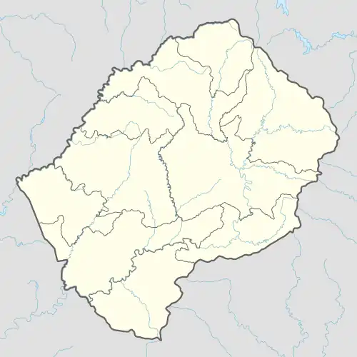
| Distrikt | Berea | ||
| Höhe | 1655 m | ||
| Einwohner | 33.445 (2006) | ||
Maluba-Lube ist ein Ort und ein Community Council im Distrikt Berea im Königreich Lesotho. Im Jahre 2006 hatte der Bezirk eine Bevölkerung von 21.948 Personen.[1]
Geographie
Das Community Council ist ein östlicher Vorort von Teyateyaneng.[2]
Zum Council gehören die Orte[3]:
|
|
Anmerkungen
- ↑ Lesotho Bureau of Statistics, Census Pre Results. bos.gov.ls. Archivlink
- ↑ Maluba-Lube bei GeoNames, geonames.org, abgerufen am 24. Februar 2022.
- ↑ Lesotho Bureau of Statistics, Village List. bos.gov.ls. Archivlink