Lalouret-Laffiteau
| Lalouret-Laffiteau | ||
|---|---|---|
| ||
| Staat | ||
| Region | Okzitanien | |
| Département (Nr.) | Haute-Garonne (31) | |
| Arrondissement | Saint-Gaudens | |
| Kanton | Saint-Gaudens | |
| Gemeindeverband | Communauté de communes Cœur et Coteaux du Comminges | |
| Koordinaten | 43° 11′ N, 0° 42′ O | |
| Höhe | 356–464 m | |
| Fläche | 5,39 km² | |
| Einwohner | 137 (1. Januar 2022) | |
| Bevölkerungsdichte | 25 Einw./km² | |
| Postleitzahl | 31800 | |
| INSEE-Code | 31268 | |
 Lalouret-Laffiteau | ||

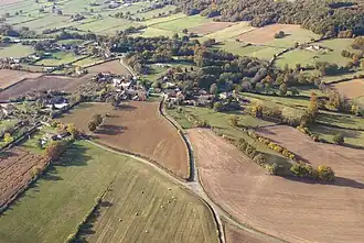
Lalouret-Laffiteau ist eine französische Gemeinde mit 137 Einwohnern (Stand 1. Januar 2022) im Département Haute-Garonne in der Region Okzitanien (zuvor Midi-Pyrénées). Die Einwohner werden als Lalouretois bezeichnet.
Geographie
Umgeben wird Lalouret-Laffiteau von den vier Nachbargemeinden:
| Cardeilhac | Saint-Marcet | |
.svg.png)
|
||
| Lodes | Larcan |
Bevölkerungsentwicklung
| Jahr | 1962 | 1968 | 1975 | 1982 | 1990 | 1999 | 2004 | 2009 | 2016 |
|---|---|---|---|---|---|---|---|---|---|
| Einwohner | 144 | 124 | 111 | 104 | 113 | 108 | 134 | 136 | 134 |
| Quelle: Cassini und INSEE | |||||||||
Sehenswürdigkeiten
- Kirche St-Laurent, erbaut im 15. Jahrhundert
Literatur
- Le Patrimoine des Communes de la Haute-Garonne. Flohic Editions, Band 2, Paris 2000, ISBN 2-84234-081-7, S. 1341–1343.
Weblinks
Commons: Lalouret-Laffiteau – Sammlung von Bildern, Videos und Audiodateien