| Cuatro Islands
|
| Gewässer
|
Camotes-See
|
| Archipel
|
Visayas
|
| Geographische Lage
|
10° 32′ N, 124° 39′ O10.525833333333124.655
|
 Cuatro Islands (Philippinen) Cuatro Islands (Philippinen) |
|
| Anzahl der Inseln
|
4
|
| Hauptinsel
|
Himokilan Island
|
| Gesamte Landfläche
|
1,2 km²
|
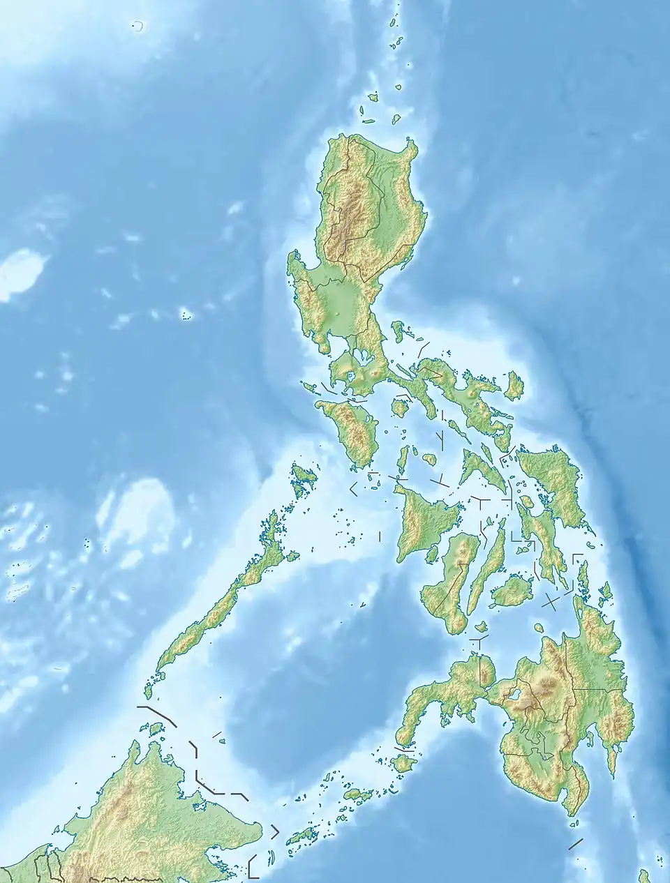
Die Cuatro Islands[1] sind eine Inselgruppe im Südwesten der philippinischen Provinz Leyte. Die aus vier Inseln bestehende Gruppe liegt in der Camotes-See, etwa sieben Kilometer westlich des Küstenorts Inopacan auf der Insel Leyte.
Inseln
| Inselname |
Aliasname |
Koordinaten |
Fläche |
Einwohner |
Anmerkung
|
| Digyo Island
|
|
!510.5441675624.660278510° 33′ N, 124° 40′ O10.544166666667124.66027777778
|
0,05
|
…
|
|
| Apid Island
|
|
!510.5352785624.637500510° 32′ N, 124° 38′ O10.535277777778124.6375
|
0,37
|
…
|
|
| Mahaba Island
|
|
!510.5188895624.671111510° 31′ N, 124° 40′ O10.518888888889124.67111111111
|
0,21
|
…
|
|
| Himokilan Island
|
|
!510.4888895624.673056510° 29′ N, 124° 40′ O10.488888888889124.67305555556
|
0,55
|
…
|
|
Weblinks
Einzelnachweise
- ↑ Geonames