Bello Horizonte
| Bello Horizonte | ||||
|---|---|---|---|---|
| ||||
| Koordinaten | 34° 46′ 20″ S, 55° 38′ 38″ W | |||
| Basisdaten | ||||
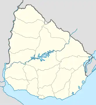
| Staat | Uruguay | |||
| Canelones | ||||
| Einwohner | 416 (2011) | |||
| Detaildaten | ||||
| Gewässer | Río de la Plata | |||
| Postleitzahl | 16203[1] | |||
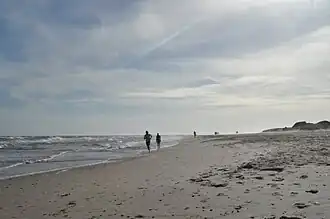 | ||||
Bello Horizonte ist eine Ortschaft in Uruguay.
Geographie
Bello Horizonte befindet sich auf dem Gebiet des Departamento Canelones in dessen Sektor 8. Der Ort liegt an der Küste des Río de la Plata zwischen dem östlich angrenzenden Guazú-Virá und dem im Westen anschließenden Costa Azul.
Infrastruktur
Der Ort liegt an der Ruta Interbalnearia, etwa an deren Kilometerpunkt 57.
Einwohner
Die Einwohnerzahl von Bello Horizonte beträgt 416 (Stand: 2011).[2]
| Jahr | Einwohner |
|---|---|
| 1963 | 114 |
| 1975 | 89 |
| 1985 | 112 |
| 1996 | 283 |
| 2004 | 303 |
| 2011 | 416 |
Quelle: Instituto Nacional de Estadística de Uruguay[3][4]
Weblinks
- Stadtplan von Bello Horizonte (PDF; 150 kB)
Einzelnachweise
- ↑ Códigos Postales del Interior
- ↑ Statistische Daten des Instituto Nacional de Estadística de Uruguay ( vom 7. September 2012 im Internet Archive), abgerufen am 4. Juli 2013
- ↑ Statistische Daten des Instituto Nacional de Estadística de Uruguay 1963–1996 (DOC; 87 kB)
- ↑ Statistische Daten des Instituto Nacional de Estadística de Uruguay – Stand 2004 ( vom 21. Juli 2011 im Internet Archive) (MS Excel; 75 kB), abgerufen am 24. Oktober 2010